How much material moved?
Compare site surfaces and project-specific quantities between captures.
Construction Site Intelligence
CIVIMETRA turns professional drone mapping into current site maps, measured views, progress comparisons and a reliable project record—so construction and development teams can make decisions without relying on scattered photos, outdated information or memory.
Drone Mapping · Progress Documentation · 3D Site Intelligence

Know what changed before it costs you.
The Site Keeps Moving
Earth moves. Utilities get buried. Work gets covered. Contractors move on. Owners ask for updates. Payment requests arrive. Questions come later.
And too often, the answer is scattered across site visits, phone photos, reports and someone’s memory.
When the information falls behind the site, the result can be extra trips, slower decisions, disputed work, missed issues and expensive surprises.
The problem isn’t that you can’t see your project.
It’s that you can’t always see what happened, how much changed—or what was there before.
CIVIMETRA uses recurring drone mapping to create dated site imagery, orthomosaic maps and measurable comparisons your team can reference when questions come.
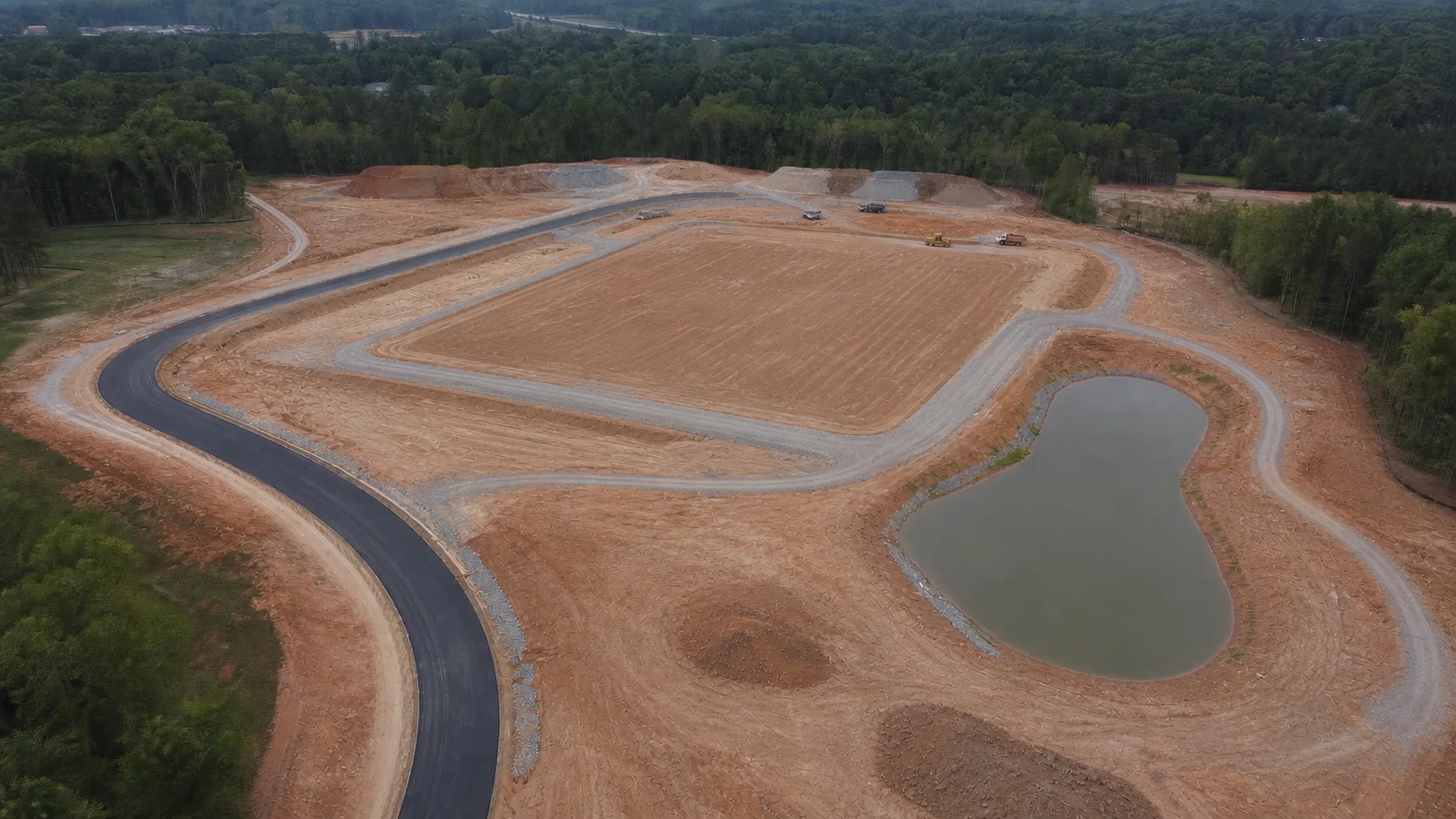 JUL 22 · SAMPLE
Better Questions. Clearer Answers.
Compare site surfaces and project-specific quantities between captures.
Return to the dated project record instead of reconstructing conditions from memory.
Compare current conditions with previous captures or appropriate project information.
Measure material quantities from captured site data where the project and required accuracy make that appropriate.
Review the visual record from the dates when the work occurred.
Share a clear current view of the entire project.
Study access, circulation, work zones and physical relationships that are difficult to understand from ground level.
Real-World Applications
$100,000 IN DISPUTE
A subdivision developer had one contractor leave a clearing project unfinished and another contractor complete the job. The first contractor later claimed it had performed the completed work and demanded $100,000. Because the developer had recurring aerial documentation, the project history showed the original conditions, partial work, condition at abandonment and eventual completion.
The site had changed. The record hadn’t.Documented industry case study. Not a CIVIMETRA project.Source · Southern Drone Data Solutions2,400 yd³ SHORT
On a residential development, the contractor became concerned that the dirt balance was wrong. Reality capture identified a shortage of roughly 2,400 cubic yards of clay while showing approximately 2,700 cubic yards of excess topsoil. The project engineer used the analysis to design an expansion of the stormwater-management pond and keep the development moving.
What looked like a dirt problem became a design decision.Documented industry case study. Not a CIVIMETRA project.Source · MSP DesignCONFLICT FOUND
On a major hospital project, the construction team compared current drone imagery with the project model and discovered that an excavation access ramp conflicted with the planned crane foundation. The team relocated the ramp before the conflict caused expensive delays.
Seeing the whole site changed what happened next.Documented industry case study. Not a CIVIMETRA project.Source · PCL ConstructionA Clearer Project Record
CIVIMETRA uses professional drone mapping, aerial photography and photogrammetry to create current, measurable records of construction and development sites. Depending on the project, your team can receive orthomosaic maps, 3D site models, progress comparisons, stockpile and earthwork measurements, and dated visual documentation your team can revisit throughout construction.
Ground-level photos show pieces. A consistent aerial capture gives your team context—the entire site, current conditions and how the pieces relate to one another.
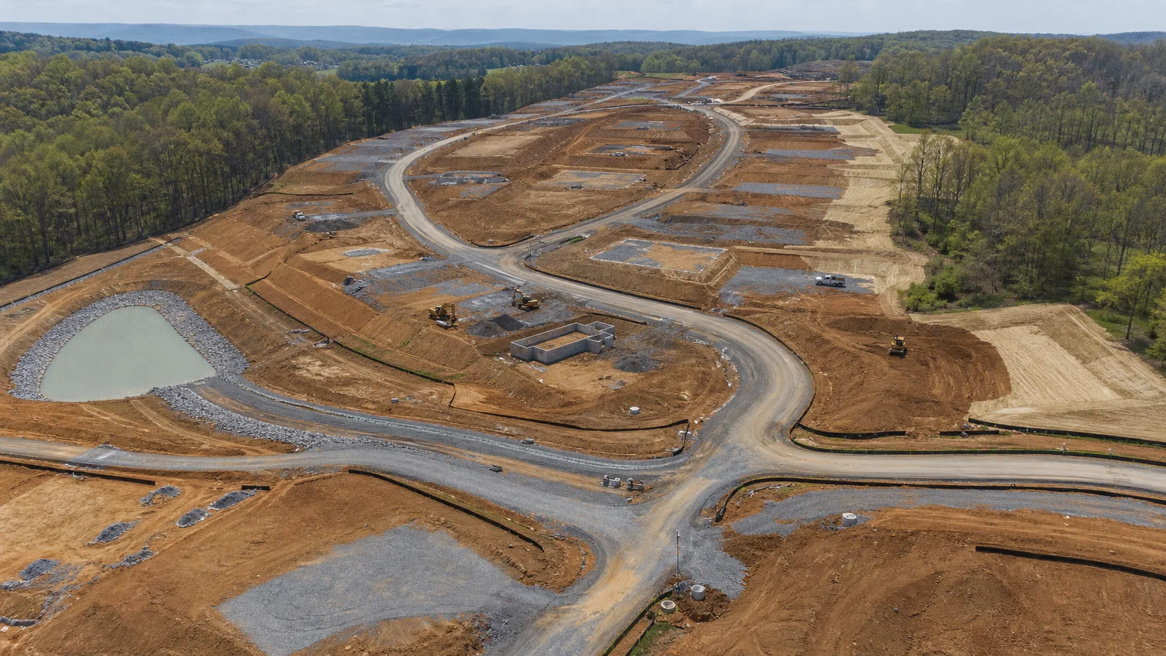
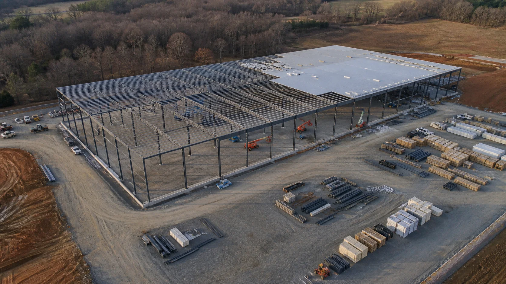 Commercial construction / illustrative aerial
When the project calls for measurable site information, captured data can help evaluate areas, distances, stockpiles and project-specific quantities—and compare how conditions change between dates.
Don’t just see what’s there. Know how much is there.
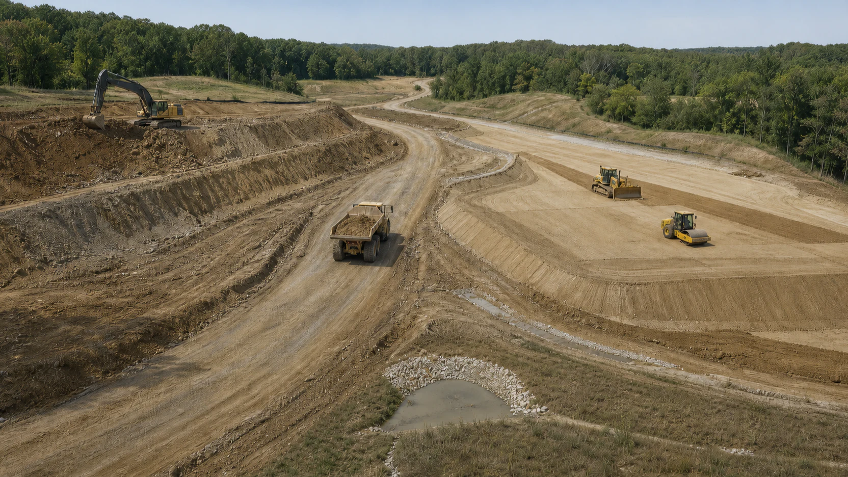
Create a dated visual history showing site conditions and project progress throughout construction.
When questions arise later about completed work, previous conditions, quantities or change events, your team has a record to reference.
Because when a question comes up later, the best time to document the answer was when it happened.
The questions usually come after the site has changed. Build the record while you’re building the project.
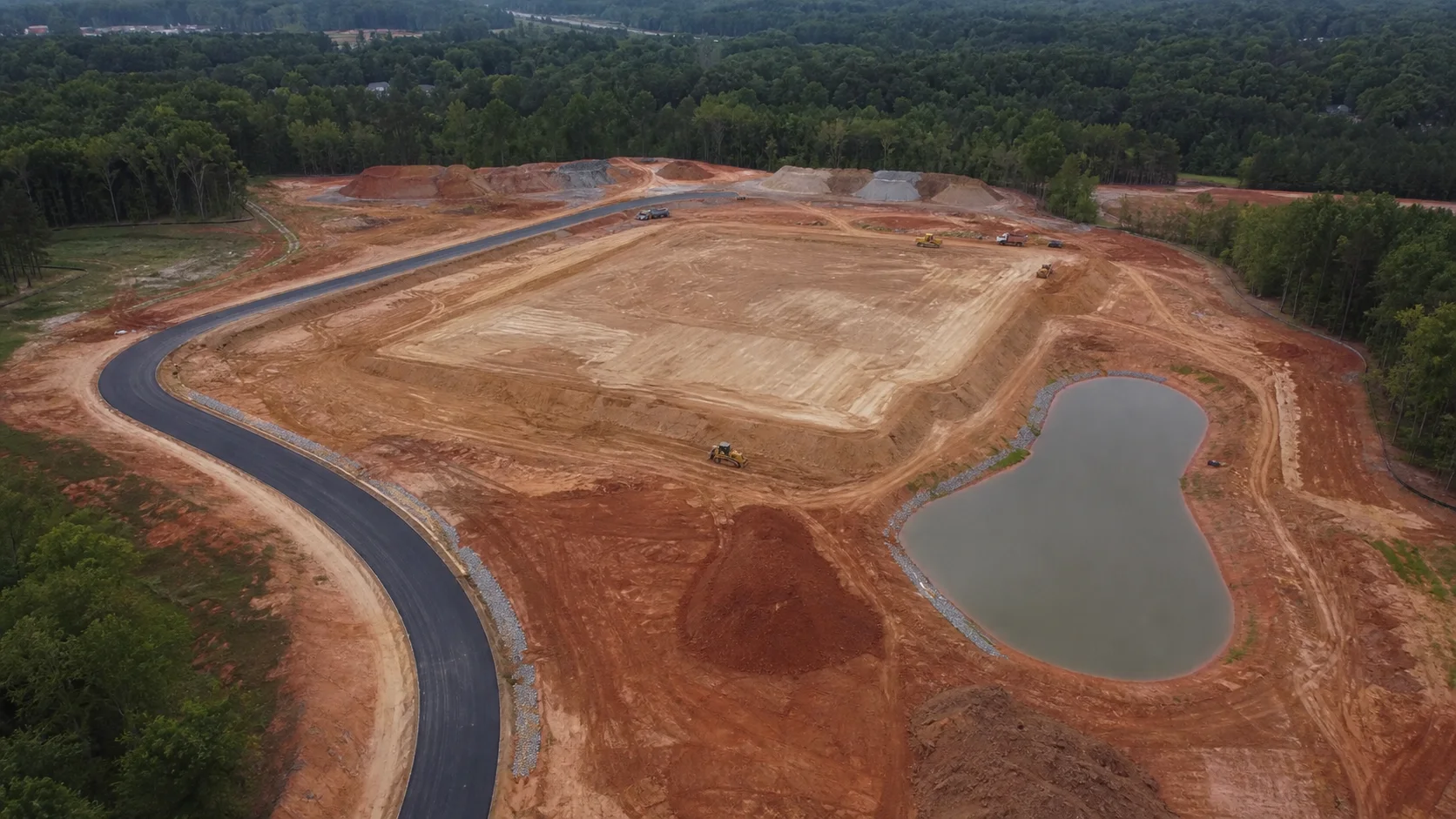 APR 08 / DATE A / SAMPLE
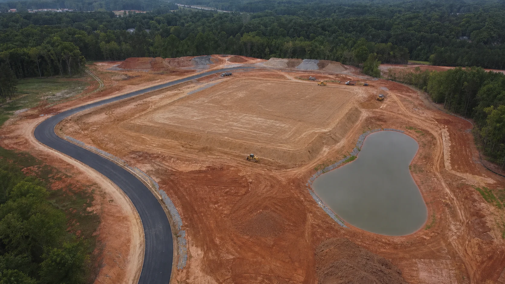 MAY 13 / DATE B / SAMPLE
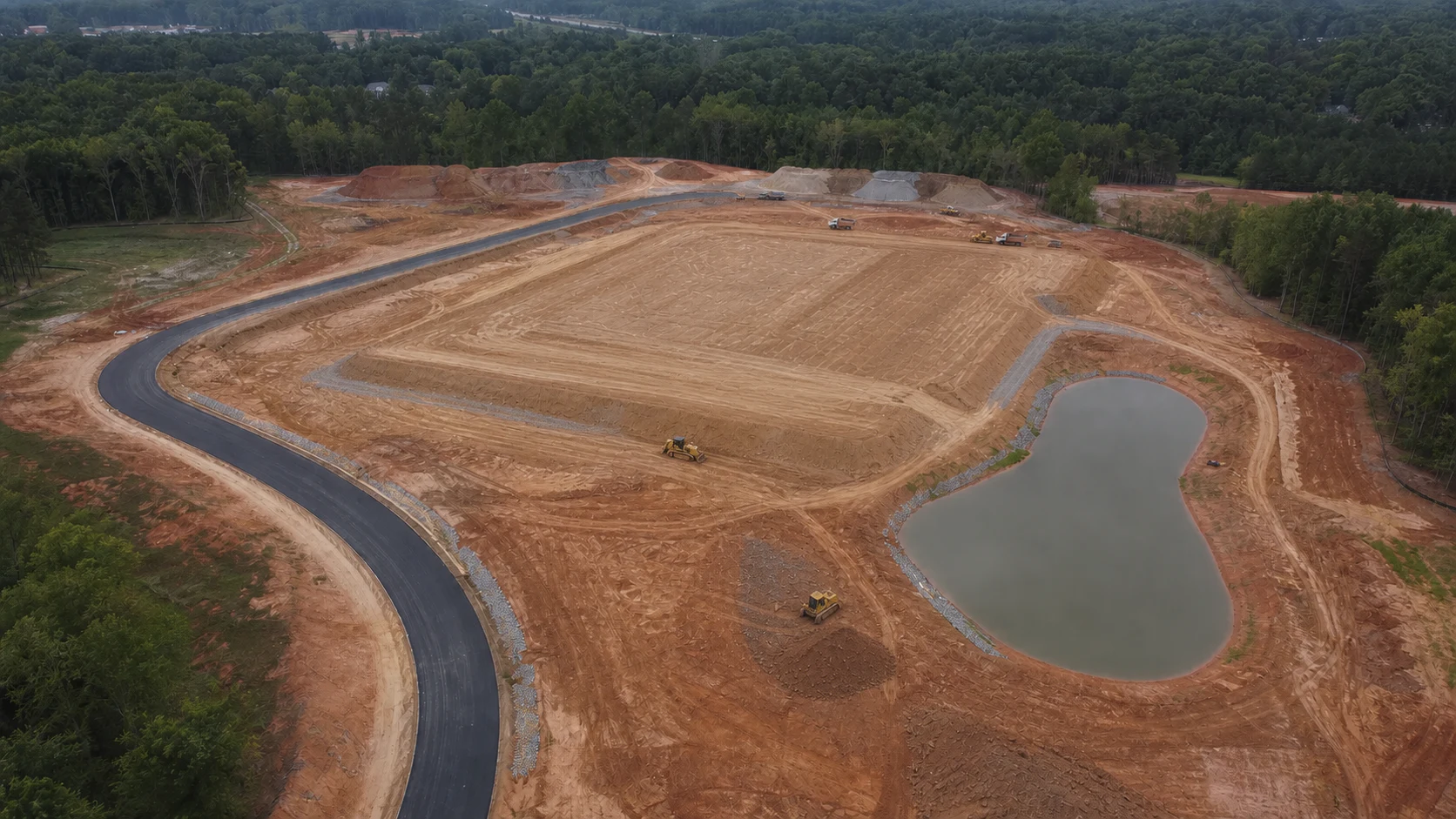 JUN 18 / DATE C / SAMPLEJUL 22 / DATE D / SAMPLE
What You Receive
Every project is scoped around the questions your team needs answered. The result is a clear, organized set of outputs you can review, compare and share.
The exact package depends on the site, capture schedule, intended use and required accuracy. Deliverables can be prepared for the construction and design workflows your team already uses, with platform-specific delivery coordinated where supported. Licensed survey deliverables are coordinated with appropriately licensed professionals when required.
Interactive Sample Project
Switch views, compare captures, inspect the map and see how project information can be organized into one clear record.
Recurring Site Documentation
One capture answers today’s question. A consistent series becomes the history of the project.
One flight tells you what’s there today.A series of flights lets you go back and see how you got there.
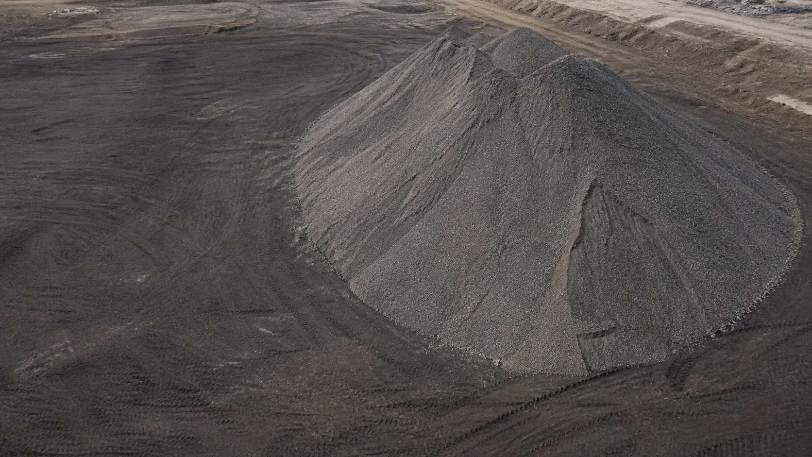 VISIBLE TOE BOUNDARY / ILLUSTRATIVE SAMPLE
Selected toe boundary · sample quantity
Earthwork & Material Intelligence
Earthwork decisions affect schedule, billing, equipment and material costs. Regular site capture can help project teams compare changing surfaces, monitor stockpiles and understand what has changed from one capture to the next.
Measurement methods and required control are matched to the intended project use. Licensed survey deliverables are coordinated with appropriately licensed professionals when required.
Don’t estimate what you can measure.Show us the site, schedule and questions your team needs answered.
CIVIMETRA documents the site at the appropriate intervals and produces the maps, imagery, measurements or comparisons your project calls for.
Your team gets the agreed maps, imagery, measurements and reports in formats that can be reviewed, compared and shared throughout construction.
One Flight. Two Kinds of Value.
Project teams need information they can use. Owners and stakeholders need information they can understand. CIVIMETRA is built to do both.
Give the people managing the work clearer information—and give the people invested in it a better way to see what’s happening.
Who It’s For
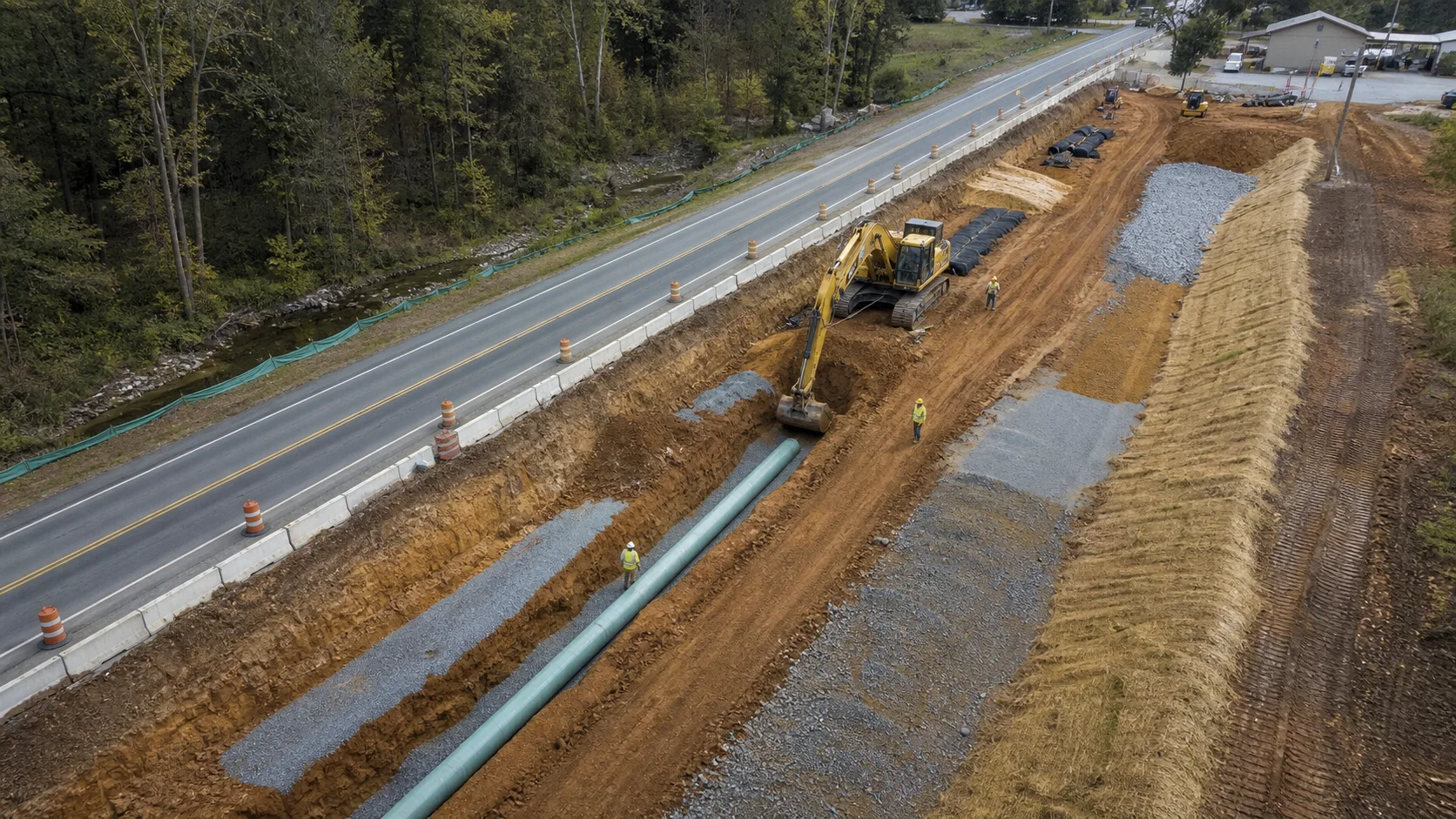 Construction intelligence for the people accountable to the work.
Keep field, office and owner teams looking at the same current project.
See what’s happening across active projects without depending on another site visit.
Track changing conditions, material quantities and earthwork progress with a repeatable visual record.
Add aerial acquisition, recurring documentation and project imagery to workflows where those capabilities are useful and appropriate.
Why CIVIMETRA
Construction teams shouldn’t have to piece together a changing jobsite from scattered photos, reports and memory.
CIVIMETRA combines professional drone mapping, recurring site documentation and high-end visual communication to give project teams a clearer record of what changed—and a better way to communicate what’s happening.
We bring together measurable site intelligence and professional visual storytelling so the people managing the work—and the people invested in it—can see the project more clearly.
CIVIMETRA was built from a background in professional visual production, technical workflows and aerial imaging. When a project requires specialized mapping resources or licensed professional services, we coordinate the appropriate expertise for the job.
Mid-Atlantic Coverage
Based in the Hagerstown area, CIVIMETRA serves construction and development projects throughout Western Maryland, the Eastern Panhandle of West Virginia, South-Central Pennsylvania, Northern Virginia and the Shenandoah Valley. Have a project outside the region? Tell us about it.
Practical Answers
What construction teams usually want to know before building a consistent project record.
Aerial photography gives you individual images of the site. Drone mapping uses overlapping aerial imagery and photogrammetry to create a connected, measurable representation of a property or jobsite. Depending on the project, that can include orthomosaic maps, 3D models, measurements, progress comparisons and volumetric information.
The right cadence depends on how quickly the site is changing and what the record needs to support. Weekly or biweekly capture may suit fast-moving work; monthly or milestone-based documentation may fit longer schedules. We recommend a schedule after reviewing the project.
Not always. Many outputs can be shared as imagery, PDFs or common project files. Interactive maps, 3D models or certain project workflows may use specialized software, so we confirm the viewing and delivery requirements before work begins.
When site conditions, access, required control and the intended use make aerial measurement appropriate, captured data can help evaluate stockpile volumes, areas, distances and changes between dates. The method, expected accuracy and any need for licensed survey or engineering involvement are confirmed for each project.
Yes. CIVIMETRA provides drone mapping and recurring aerial documentation for construction, development and earthwork projects throughout our regional service area. The appropriate capture and processing method depends on what your team needs to see, measure or document.
No. CIVIMETRA provides aerial acquisition, mapping, visual documentation and project analysis; it does not provide boundary surveys or licensed land-survey services. Deliverables requiring licensed surveying or engineering are coordinated with appropriately licensed professionals when required.
A consistent, dated visual record can help document conditions and support project review when questions arise about change orders, completed work or previous site conditions. It does not guarantee legal admissibility, a particular interpretation or any dispute outcome.
Based in the Hagerstown area, CIVIMETRA serves construction and development projects throughout Western Maryland, the Eastern Panhandle of West Virginia, South-Central Pennsylvania, Northern Virginia and the Shenandoah Valley. Have a project outside the region? Tell us about it.
Turnaround depends on the capture type, site size, processing requirements and analysis requested. We discuss the expected delivery window before work begins; time-sensitive requirements should be raised during the site assessment.
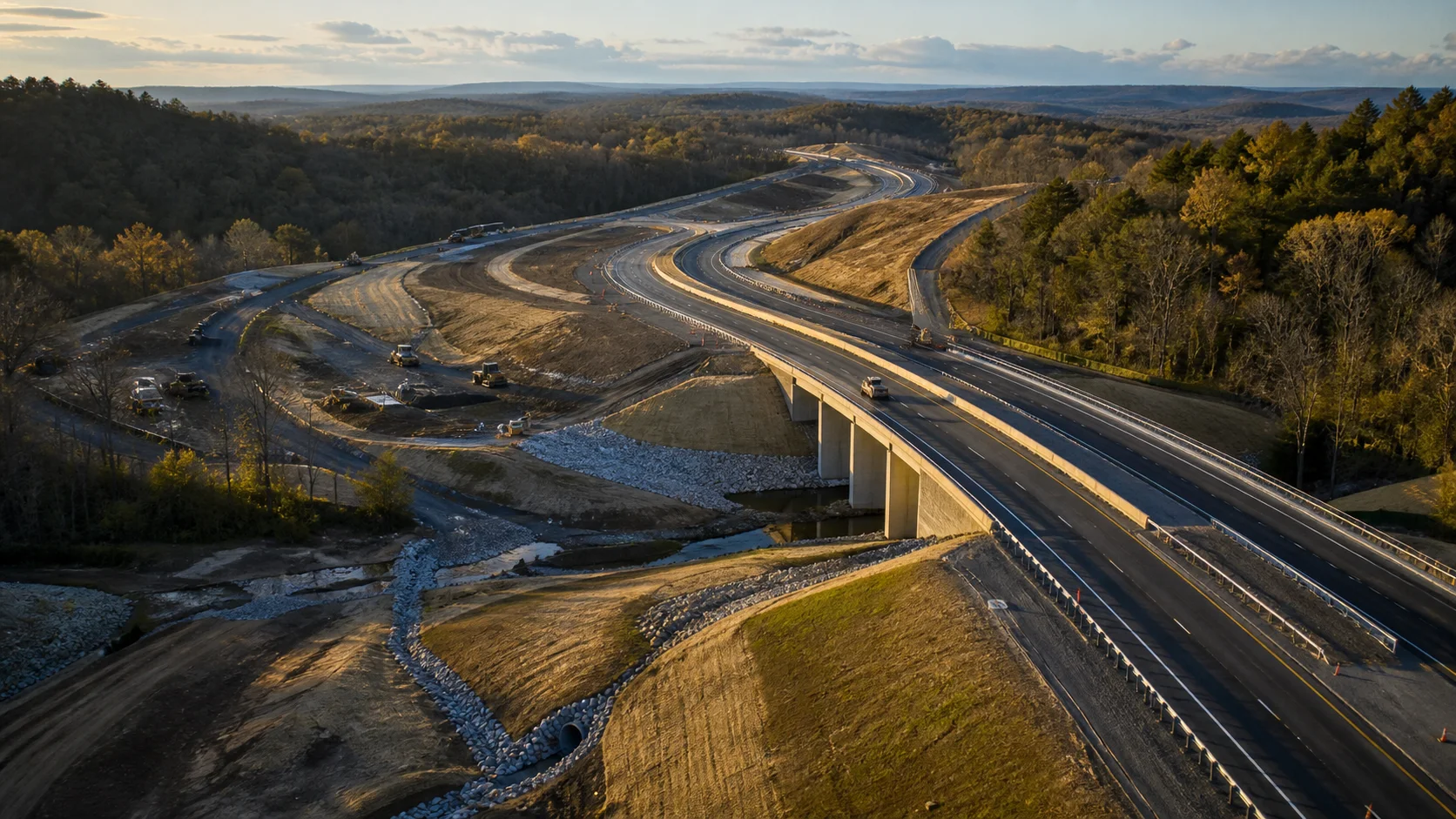
See It. Measure It. Prove It.
Know where you’ve been.
See where you are.
Show everyone what’s next.
Start With the Project
You don’t need to know which mapping product or technology you need.
Tell us what you’re building and what your team needs to see, measure, compare or document. We’ll help determine the appropriate approach.